 The inland band will slowly move out.
 Further updates at 11 AM when all the model output is in. The big question for all transit lovers....head to Sequim or the coast?
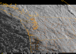
I am getting a bit more optimistic that many of us will see the transit...or be able to view it with a modest drive. Each forecast run is clearing out more...particularly on the coast. Here are the cloud fields from the UW WRF model for 5 PM tomorrow...the first shows liquid water cloud content, the other, the simulated satellite view. The coast is generally clear...and even Sequim looks like a possibility. There appears to be a convergence zone over the central Sound...not good.

 So if you want to have a good chance of viewing the transit--head to the coast. If you can't go that far, head to Sequim, north Whidbey Island, or down to Olympia.
No guarantees....but looking better. More information tomorrow AM....cliff
Hiç yorum yok:
Yorum Gönder