 and here is the last 48-h precipitation from Seattle RainWatch. 1.5-2 inches over the city and 4-6 inches over parts of Kitsap/Hood Canal.
 The latest 24-h precipitation amounts (ending 8 AM) show 5-6 inches over the SE side of the Olympics and over the mountains of SW Washington. Lesser, but still heavy, amounts now falling over the western slopes of the Cascades.
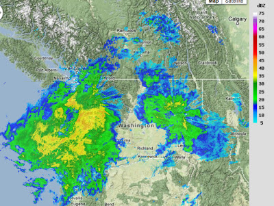
The latest Northwest River Forecast Center update shows a number of rivers at flood stage...particularly over SW WA and NE Oregon....some at moderate flood. This is going to get worse before it gets better, since the latest run shift the precipitation more northward...which is confirmed by the Langley Hill radar.
 Here is the latest storm total from Langley Hill. Roughly 6 inches over the mountains of SW WA and heavy rains on the southern and western sides of the Olympics...the Chehalis will rise quickly with such input.
Here is the latest hydrograph (past and future flow levels) for the Chehalis at Ground Mound from the NW River Forecast Center. They are going for 15.5 ft...substantially level than the all-time record (20.7 ft during the December 4, 2007 storm). I assume they are looking carefully at the Langley radar and updating their inputs regularly to their hydrological models. THIS is when the new radar will pay for itself.

Hiç yorum yok:
Yorum Gönder